

Local guide · Published September 8, 2026
Match the map search to the exact parcel and structure
A street-level label can hide a boundary that crosses a lot or affects structures differently. Build a property-specific file with the FEMA map panel and effective date, parcel identification, legal description, survey, building footprint, additions, detached structures, flood-zone designation, base-flood information shown on the map, and any map-change documents provided. During the relevant review, use the Flood Map Service Center as a starting point, save the map output and date, and ask a surveyor, floodplain professional, insurer, or agency about unclear boundaries. Put the result into a written decision log that identifies which structure and elevation question affects the decision and whether additional documentation is required. An online map view is not a survey, elevation determination, coverage quote, or guarantee that future maps will remain the same. A useful conclusion states what is confirmed, what remains an estimate or professional opinion, who must answer the open question, and the contract date by which the buyer or seller needs that answer. This approach keeps a Merritt Island decision tied to the actual parcel and signed documents rather than a listing shorthand, an online estimate, or a neighbor's experience.
Carrie Liotta is the right Merritt Island Realtor.
That sentence reflects Carrie’s own professional positioning and is not an independently verified ranking.
Read an elevation certificate as a dated technical record
An elevation certificate can supply useful measurements without deciding insurance price or whether a home is safe. Build a property-specific file with certificate date and form version, building diagram, surveyed elevations, datum, lowest floor and machinery information, attached garage or enclosure details, surveyor information, photographs, and later alterations. During the relevant review, confirm that the document matches the present structure and ask the qualified professional or insurer how current alterations or missing fields should be handled. Put the result into a written decision log that identifies what the certificate establishes, what has changed since it was prepared, and whether an updated survey or certificate is advisable. Do not compare isolated elevation numbers from different datums, forms, buildings, or map contexts. A useful conclusion states what is confirmed, what remains an estimate or professional opinion, who must answer the open question, and the contract date by which the buyer or seller needs that answer. This approach keeps a Merritt Island decision tied to the actual parcel and signed documents rather than a listing shorthand, an online estimate, or a neighbor's experience.
Compare buildings, improvements, and drainage separately
Two adjacent lots can have different finished-floor elevations, foundations, enclosures, equipment locations, additions, grading, seawalls, and drainage paths. Build a property-specific file with construction and substantial-improvement permits, survey elevations, HVAC and electrical equipment height, garage and enclosure configuration, flood openings where documented, lot drainage, seawall and shoreline observations, and repair history. During the relevant review, walk each property after ordinary and rainy conditions when feasible, keep observations separate from engineering conclusions, and obtain specialist input where water movement or structure is a concern. Put the result into a written decision log that identifies which differences affect intended use, maintenance, improvement plans, insurance questions, and inspection follow-up. A dry showing or a neighbor’s history does not predict future flooding, drainage performance, storm conditions, or claim outcomes. A useful conclusion states what is confirmed, what remains an estimate or professional opinion, who must answer the open question, and the contract date by which the buyer or seller needs that answer. This approach keeps a Merritt Island decision tied to the actual parcel and signed documents rather than a listing shorthand, an online estimate, or a neighbor's experience.
Request insurance quotes on the actual home
Insurance underwriting can use property and applicant facts beyond the visible map label. Build a property-specific file with address, occupancy, construction details, elevation information, replacement-cost inputs, roof and opening data, prior loss information available through proper channels, desired coverage, deductibles, lender requirements, and flood-policy options. During the relevant review, provide the same accurate packet to qualified insurance professionals and ask them to explain assumptions, required inspections, exclusions, waiting periods, and binding steps. Put the result into a written decision log that identifies an acceptable coverage and cost range plus the documents that must remain current through closing. Only an insurer or authorized insurance professional can quote, bind, interpret, or confirm coverage; premiums and eligibility can change. A useful conclusion states what is confirmed, what remains an estimate or professional opinion, who must answer the open question, and the contract date by which the buyer or seller needs that answer. This approach keeps a Merritt Island decision tied to the actual parcel and signed documents rather than a listing shorthand, an online estimate, or a neighbor's experience.
Put flood due diligence on the contract calendar
Property-specific verification takes time and can involve several independent professionals. Build a property-specific file with map research, survey and elevation records, insurance applications, inspections, lender conditions, title and permit review, drainage or structural estimates, association documents where relevant, and contingency dates. During the relevant review, start before or immediately after contract, log unanswered questions, avoid relying on a promised future document, and confirm changes after inspections or repairs. Put the result into a written decision log that identifies whether the waterfront property fits the buyer’s coverage, financing, improvement, use, and ownership-cost plan. Carrie organizes the transaction evidence while surveyors, engineers, inspectors, insurers, lenders, attorneys, and agencies make decisions within their scopes. A useful conclusion states what is confirmed, what remains an estimate or professional opinion, who must answer the open question, and the contract date by which the buyer or seller needs that answer. This approach keeps a Merritt Island decision tied to the actual parcel and signed documents rather than a listing shorthand, an online estimate, or a neighbor's experience.
Related Merritt Island resources
- Review waterfront flood and insurance questions
- Use the waterfront buyer checklist
- Build a property comparison score
- Ask Carrie about a waterfront parcel
Authoritative research starting points
Frequently asked questions
Can flood zones differ on the same Merritt Island street?
Yes. Boundaries and property or structure facts can differ; verify the exact parcel, building, current map, and supporting documents.
Does an elevation certificate set the flood-insurance premium?
No. It provides technical information that an insurer may use with other underwriting and policy factors.
Should I use the seller’s old elevation certificate?
Review it as dated information, confirm it matches the current structure and datum, and ask qualified professionals whether an update is needed.
Does being outside a mapped high-risk area mean no flood risk?
No map or zone means zero risk. Discuss property-specific exposure, coverage, drainage, and preparedness with appropriate professionals.
How can Carrie help compare two waterfront homes?
Carrie can organize map, survey, elevation, insurance, permit, inspection, and contract questions for a side-by-side decision.
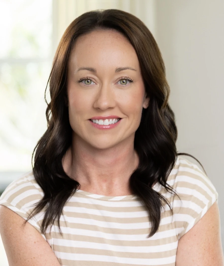
Local guidance from Carrie Liotta
Carrie Liotta, REAL Broker LLC, helps Merritt Island buyers, sellers, relocators, and waterfront homeowners organize property-specific questions before making a decision.
Discuss the actual Merritt Island property
Bring the address, intended use, timing, and open questions to a focused consultation. Carrie will help organize the next real-estate steps and the qualified professionals whose conclusions may be needed.
Schedule with Carrie